Autrey Mill is a Johns Creek Community Area in ZIP 30022, zoned for Johns Creek High. Zillow's typical ZIP value was $668,627 in August 2026.
Last checked Oct. 5, 2026. Sources: the City of Johns Creek comprehensive plan and its Community Areas map layer, the city’s parks pages, Fulton County Schools address map data, the state’s 2025 School Grades data, Zillow Research, MARTA and OpenStreetMap.
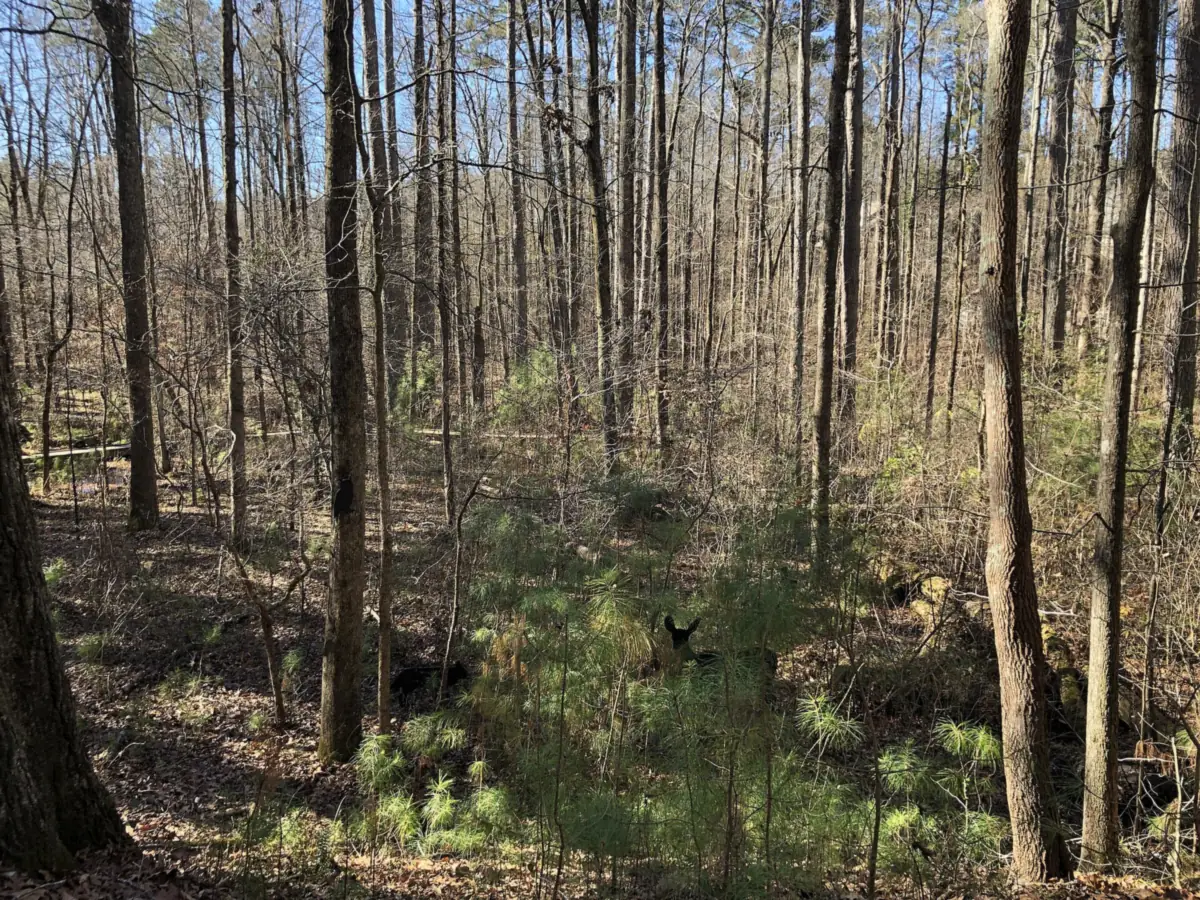
Autrey Mill is the wooded, all-residential middle of south Johns Creek, between State Bridge Road and Old Alabama Road. It is one of the eight Community Areas in the city’s comprehensive plan, named for the Autrey family, who farmed here from the 1840s, and for the mill Ransom Autrey built on Sal’s Creek in the 1870s. The mill site is now the Autrey Mill Nature Preserve.
What this means for you
- Zoned high school: Johns Creek High for all but a handful of addresses. Check yours with the district’s Find Your School lookup.
- Home value: $668,627 in ZIP 30022 in August 2026, according to the Zillow Home Value Index.
- Nearest Georgia 400 exit: exit 9, Haynes Bridge Road, about 6 miles by road.
Part of our Johns Creek neighborhoods guide.
Where it is
The comprehensive plan’s Autrey Mill chapter describes the area as bounded by the Perimeter Church property on the east; State Bridge Road, the Cameron Crest Farm subdivision and Dolvin Elementary School on the north; Jones Bridge Road and the Falls of Autry Mill subdivision on the west; and Old Alabama Road on the south. The city’s map layer puts it at about 2,495 acres.
Neighboring Community Areas are Ocee to the north, Medlock to the east, River Estates to the south and Newtown to the west. Buice Road and Spruill Road run through the middle.
The plan lists Doublegate, Farmbrook, Oxford Mill, Falls of Autry Mill and Cameron Crest Farms as the largest subdivisions, built in the 1980s and early 1990s. It counts 7,491 residents in 2022 and says single-family homes take up 78.3% of the land. There is no commercial center; the Atlanta-Fulton County water treatment plant on Spruill Road takes up much of the rest.
Every address here in the district’s map data is in ZIP code 30022. Many mailing addresses in 30022 read “Alpharetta,” but the area is inside Johns Creek city limits, so the city provides police, fire and road services.
Schools
Of the 2,257 address points in this area in the Fulton County Schools map data on Oct. 5, this is how the middle and high school zones split. Scores are 2025 College and Career Ready Performance Index (CCRPI) figures from the state’s School Grades report; the state average was 76.9 for high schools.
| Level | School | Share of addresses | 2025 CCRPI |
|---|---|---|---|
| High | Johns Creek High (report card) | 99% | 94.5 |
| Middle | Autrey Mill Middle (report card) | 99% | 96.1 |
| Elementary | State Bridge Crossing Elementary (report card) | Split | 98.7 |
| Elementary | Dolvin Elementary (report card) | Split | 95.3 |
The district’s 2025-26 zone map divides the area roughly in half between the two elementary schools, so check the exact address. Dolvin Elementary, at 10495 Jones Bridge Road, and Autrey Mill Middle, at 4110 Old Alabama Road, are inside the area, according to the federal NCES directory. Zone maps for every school: the district’s attendance zones page.
Home values
The typical home value in ZIP 30022 was $668,627 in August 2026, up 0.83% from $663,117 in August 2025, according to the Zillow Home Value Index. The index is a modeled typical value for the middle third of homes, not a sale price. ZIP 30022 covers most of the south and west of the city, not only Autrey Mill. The citywide Johns Creek figure was $695,041, up 0.59% on the year. Recent sales are in our weekly real estate transfers.
Parks and trails
From the city’s parks pages:
- Autrey Mill Nature Preserve and Heritage Center, 9770 Autrey Mill Road, 678-366-3511: 46 acres of ravine forest with nature trails along Sal’s Creek, a farm museum, a butterfly garden and a heritage village of relocated historic buildings, including the Warsaw church and the Green family store. See the city’s Autrey Mill page.
- Spruill Oaks Library, 9560 Spruill Road, a Fulton County library branch inside the area, named in the plan and mapped in OpenStreetMap.
The plan lists sidewalk and trail gaps the city intends to fill along Buice, Old Alabama, Spruill and Jones Bridge Roads. More in our walking and biking trails guide.
Getting around
- Georgia 400: exit 9, Haynes Bridge Road, is about 6.2 miles by road from Spruill Oaks Library; exits 7 (Holcomb Bridge Road) and 8 (Mansell Road) are about 6.4 miles. Exit numbers are from OpenStreetMap.
- City Hall and Town Center: about 6 miles by road to Johns Creek City Hall, 11360 Lakefield Drive.
- Airport: about 37 miles by road to Hartsfield-Jackson Atlanta International Airport. Distances are measured from Spruill Oaks Library on the OpenStreetMap road network with the OSRM routing engine; they are distances, not drive times.
- MARTA: no MARTA bus stops are inside the area, according to MARTA’s schedule data. The nearest are route 140 stops in Alpharetta, about 3 miles west in a straight line.
- Main roads: State Bridge Road, Old Alabama Road and Buice Road run east and west; the plan lists a widening of Jones Bridge Road from north of Waters Road to Harvest Ridge Lane under the county’s TSPLOST program.
Groceries and everyday stores
There is no store inside the area. The plan points residents to shopping in Newtown, Ocee and Medlock. The nearest supermarkets in OpenStreetMap:
- Publix, 5805 State Bridge Road, to the east in Medlock
- Kroger, 3000 Old Alabama Road, to the west in Newtown
- Walgreens, 3003 Old Alabama Road, in Newtown
How we drew this area
The name, boundary and history come from the City of Johns Creek’s comprehensive plan, and the outline from the city’s Community Areas map layer; you can check an address with the city’s Which Community Area Do I Live In? lookup. School shares come from every address point inside that outline in the Fulton County Schools map service, checked Oct. 5, 2026. Store and library locations are © OpenStreetMap contributors.
Frequently asked questions
Where is the Autrey Mill area of Johns Creek?
The city’s comprehensive plan places it between State Bridge Road on the north, Old Alabama Road on the south, Jones Bridge Road on the west and the Perimeter Church property on the east. It is all in ZIP code 30022.
What high school is Autrey Mill zoned for?
Johns Creek High, for all but a handful of the area’s addresses in the Fulton County Schools map data, with Autrey Mill Middle. Elementary zones are split between State Bridge Crossing and Dolvin.
Is Autrey Mill a good place to live?
As a matter of record: Autrey Mill is a mostly single-family area of about 2,500 acres with a 46-acre nature preserve and a library, zoned for Johns Creek High (2025 CCRPI score 94.5). The typical home value in ZIP 30022 was $668,627 in August 2026, according to Zillow.
What is the typical home value in Johns Creek ZIP code 30022?
Zillow put it at $668,627 in August 2026, up 0.83% from $663,117 a year earlier. The figure is a modeled typical value, not a sale price.
Have your say